| HOME |
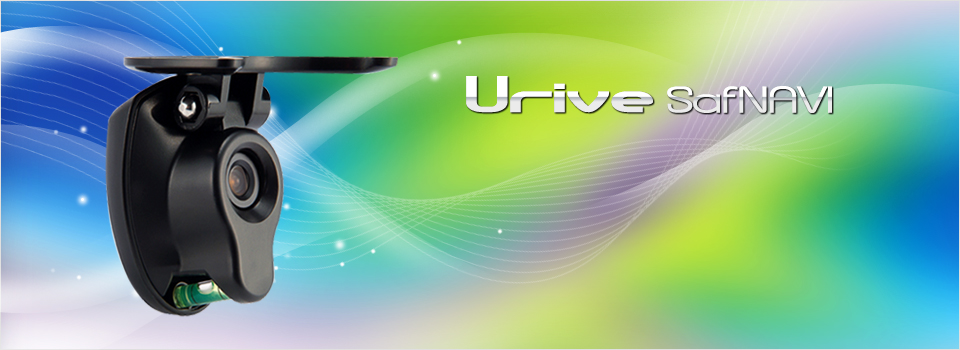
Intelligent drive recorder
Intelligent Black Box with Navigation Connection
Connection to navigation system
Lane Departure Warning System (LDWS)
Departure Warning System (DWS)
Black box function
| Connection to navigation system | |
| Black box does not require CPU, GPS, or SD card | 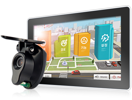 |
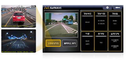
| Urive SafNAVI is an intelligent black box that can be connected to the navigation system through USB. It is more efficient because it uses the CPU, GPS, and SD memory of the navigation system, and complex technology for safe driving has been replaced. |
|
| Real-time display / field check after shock | |
| Real-time display of navigation is possible while driving using the navigation system. Also, when causes of accidents need to be revealed, the video, time, location, speed, etc., can be viewed on the spot. |
|
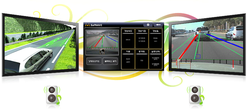
Lane Departure Warning System (LDWS)
LDWS uses the camera installed in the front of the car to recognize the lanes in real time, to alert the driver when he or she falls asleep or
has trouble driving. This state-of-the-art safe driving support system will prevent accidents.
has trouble driving. This state-of-the-art safe driving support system will prevent accidents.
When the car moves out of the lane,
alarm will sound as the blue lanes on the viewer changes to red.
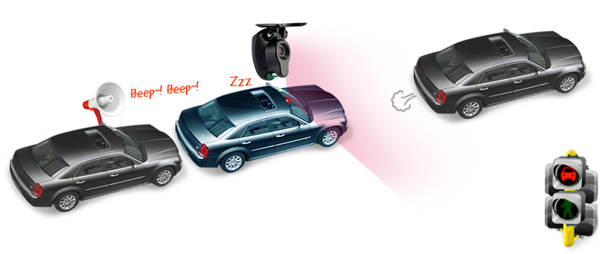
Departure Warning System (DWS)
DWS uses the camera installed in the front of the car to recognize the car ahead in real time to analyze whether it is in the same lane.
It alerts the when the driver is not aware of the traffic light changing to green. This state-of-the-art safe driving support system will
prevent accidents.
It alerts the when the driver is not aware of the traffic light changing to green. This state-of-the-art safe driving support system will
prevent accidents.
You will hear “Ding-dong~!! Please check the front” when you are not aware of
the traffic light change to green while listening to loud music, on the phone, or doing something else.
| Functions of black box | |
| Saving events | Forced recording |
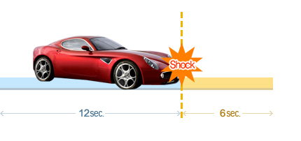
| When a certain level of shock is detected through the shock detection sensor of Urive SafNAVI, video 12 seconds before and 6 seconds after the shock will be saved to the SD card of the navigation system. Continued recording is not available. |
Even in situations other than accidents, forced recording is possible in emergencies. Press [Forced Recording] in SafNAVI viewer to begin recording. |
 |
 |
|
 |
||||
 |
Functional design | ||||
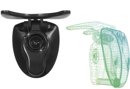
| In order to meet the functions of LDWS and DWS, the main body of the system must maintain level to the ground, and the green transparent gauge helps balance the product. |
| Urive Single PC viewer | |
| Intuitive interface | 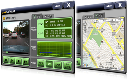 |
| Intuitive interface shows the time and location of the accident, and the real time speed change can be shown in a graph. |
|
| GPS and map connection | |
| Connection to Google Map is possible through the GPS antenna, and accurate information on location, speed, and driving records can be viewed Connection with maps through GPS. |
|
| Embedded shock sensor | Time and location information | ||
| Automatic video recording after set level of shock is experienced. |
Time of shock is available and the location of shock is shown on the Google Map. |
||
| Car speed information | Lack of memory space alert | ||
| Car speed is shown on a graph, and alerts LDWS function. |
When the SD card of the navigation system has 10MB space left, alert screen will appear on the navigation screen to show the status. |